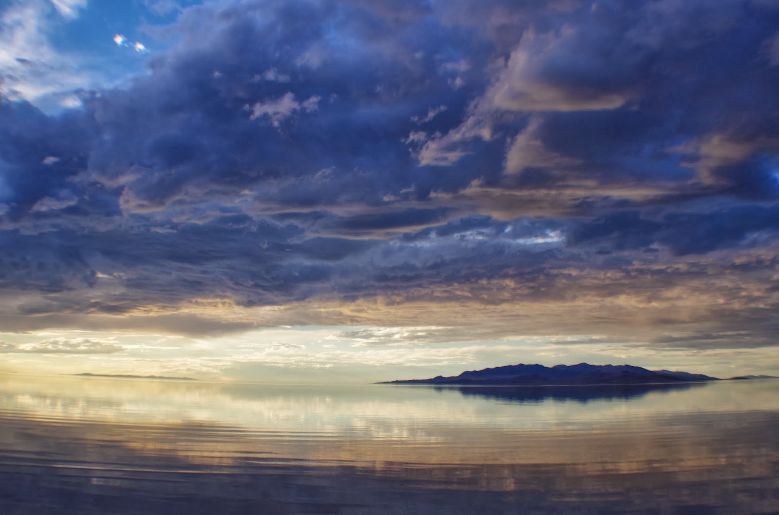
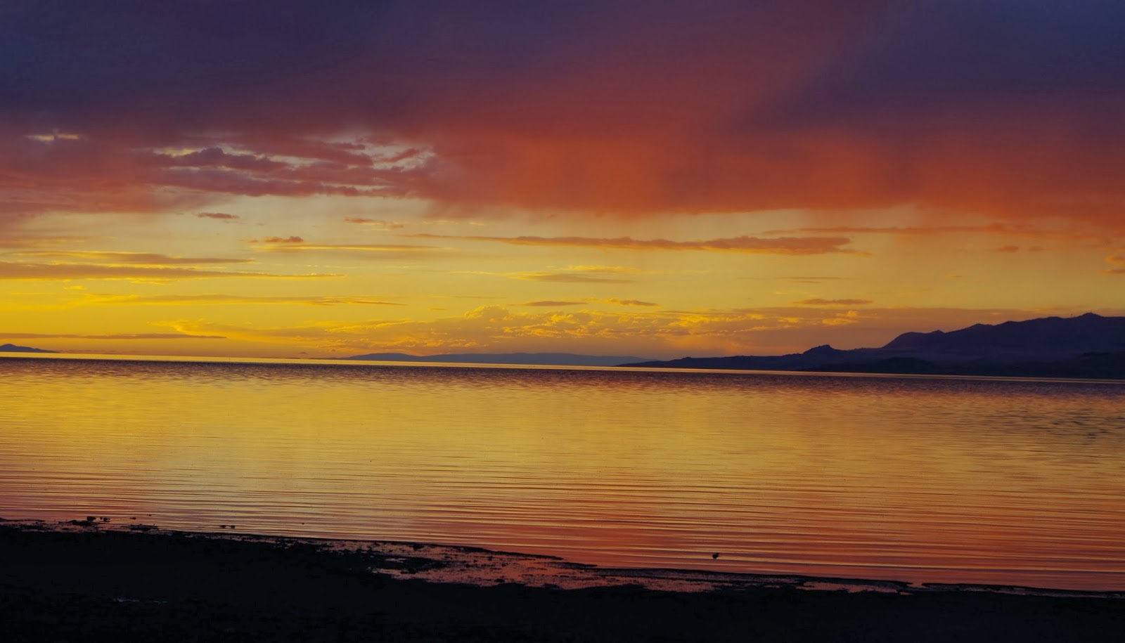
I have said many times that the Great Salt Lake is the greatest and here I'm going to try to make the case for that. My PhD work focuses on the fresh and brackish parts of the lake, but the really salty parts are what make it so cool. Stop # 2 on my August Great Salt Lake (GSL) Spectacular was the Spiral Jetty. This was my fourth trip to the Jetty, and each time I go the Lake and the Jetty look different. The focus of this trip was to capture the sunset, so there are many pictures of that.
 |
| Best sunsets on the planet are found at the Great Salt Lake. |
However, pictures of the sunset are not terribly interesting, or at least not as interesting as the science of the GSL. So I've decided to use the pictures to guide, in general, my list of reasons the Great Salt Lake is truly the Greatest!
 |
| This move is meant to demonstrate the greatness of the Great Salt Lake and the awesome-ness of chilling out on the Spiral Jetty. |
1. History - As I mentioned in my last post, GSL is all the remains of Lake Bonneville. Lake Bonneville drained quite a bit when an ice dam at Red Rock Pass failed, but what really lead to it's transformation into a hyper-saline terminal lake was a change in climate from pluvial (extended period (thousands of years) of abundant rainfall) to semi-arid (evaporation rates exceed rainfall rates). Lake Bonneville was huge, so massive it actually caused the earth's crust to flex into a depression under the lake. As rainfall decreased, so did inflow from rivers, lowering the level of the lake past any potential outlet points. The longer the climate remained dry the lower lake levels fell and the more concentrated minerals in the water became because rivers kept bringing in salts but as water evaporated it left the salts behind. [Super fun fact - layers of sediments exposed by gravel pits have been one way geologists continue to learn about the history of Lake Bonneville.]
 |
| View south from Rozel Point - the terraces on the mountains around GSL are evidence of the shifting water levels of pluvial Lake Bonneville. |
2. Dynamic hydrology - As if a history as a gigantic lake was wasn't enough of an interesting hydrologic dynamic, the lake level is still changing all the time. In the last 150 years, the Lake's depth has fluctuated by 7 meters (about 23 feet); however, because the lake bottom is so flat and shallow (mean water depth is 5.5 meters (17.4 ft)), that change in water depth translates to the surface area doubling between the lowest and highest water levels. This means the location of the shoreline can change every year depending on the snowpack and seasonally as evaporation rates rise and fall. Shifting shorelines have been troublesome in flood years, and during drought years it means you have to hike a long ways to get from the beach to the water. But it also has an important role in ecology - when freshwater marshes are flooded with hyper-saline waters it re-starts the successional process, essentially setting the plant community back to what it was decades before. And when mud flats are exposed during drought years they end up being super-tasty buffets for shorebirds who love bugs.
 |
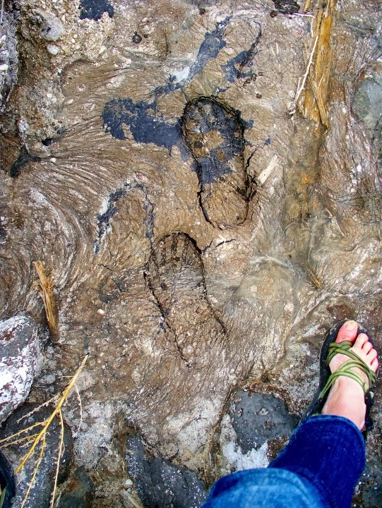
| Those dark patches are "craterlets" of oil exposed by low water. There are actually natural oil seeps at Rozel Point, but oil extraction proved unprofitable due to the sulfur-rich nature of the oil and the difficulties of pumping under both flooded and dry conditions. |
 |
| I have no idea what these large metal spheres are, but I see them frequently around GSL. I really like that someone drew an alien on this guy. |
3. Halophytes - Birds migrate in and out of GSL when food is most abundant, but there are plants, bugs, and plankton that not only stick around GSL, they thrive there. They're called halophytes and they are able to live and reproduce under salt conditions that would make other plants and bugs wither up and die. My favorite halophyte is a plant called pickleweed (Sarcocornia utahensis), not only is it adorable, it concentrates salt in it's tissues so it can be used to pickle things in your kitchen. Outside the marshes, in the open water of GSL, brine shrimp (Artemia salina and some others) and brine flies (mostly Ephydra cineria) live in water more than 3x saltier than the ocean. Birds love this highly productive food source (the shrimp and flies), and fish would love it too if they could live in such salty waters; since they can't, brine shrimp cysts are harvested every year and shipped across the country to aqua-culture facilities. In the places saltier than the main body of the Lake, like the North Arm of GSL, the water is completely saturated with salt and only bacteria and cyanophytes can live. These organisms are not only cool because of their ability to survive harsh environments, but also because they turn the water pink. Even cooler, cyanobacteria are part of the oldest kingdom of living things on earth and mostly likely contributed enough oxygen to the atmosphere billions of years ago to create the oxygen-rich, breathable atmosphere we have now.
 |
| Very shallow, salty and pink water of the North Arm. This vivid landscape was an inspiration to the creator of the Spiral Jetty. |
 |
| New salt crust - the salt forming process also ended up being an inspiration for the Spiral Jetty. |
4. Minerals - It should be clear by now that salts are an important characteristic of the Lake. Turns out, every year more than 2 million metric tons of minerals are removed from GSL. Using solar evaporation ponds -where salty water is pumped into very shallow ponds and allowed to evaporate, thus concentrating the minerals in the water and some more complicated refinement techniques - companies are able to extract sodium chloride, magnesium chloride and potash (sulfate of potassium) from the Lake for many interesting, occasionally surprising uses. Magnesium chloride can be used a dust suppressant, and can also be further processed into magnesium metal and chlorine gas; unfortunately this process is highly polluting and one of the mineral companies on the Lake is the biggest polluter in the State because of it. Potash is used as a fertilizer and I can't find many fun facts about it, but I think it's cool that a lake whose water is useless for farming produces a product necessary for large scale farming.
 |
| The high concentrations of minerals petrify wood placed in GSL water, but those high concentrations are also what make mineral extraction profitable. |
Table salt (sodium chloride) is processed for industrial use and livestock salt licks, but a good chunk of it is also used to de-ice roadways in Utah, which leads me to my next subject...
 |
| Older salt crusts... I guess it's not so much a crust... Mmm. Salt art. |
5. The GSL weather - It's hard for me to pull the way GSL affects the weather on the Wasatch Front from the way GSL is affected by the weather, but I'll give it a try. First is my favorite - Lake Effect Snow: because of it's elevated salinity, the GSL doesn't freeze in the winter. This open water creates a kind of "hot spot" with lower pressure than the surrounding cold air; when large cold air fronts converge with this warm air it produces snow storms that drop several inches of snow over the communities near the Lake (including Clinton, where I'm from). Then trucks full of GSL salt come around in an effort to keep the roads dry through the same freezing-point depression principal that keeps the Lake from freezing. Wind is a pretty big deal around GSL, too. Because the Lake is so large and flat, wind can really pick up speed across the water, and it kind of picks up water along with it. Storm seiches around the Lake can lead to 2-foot differences in the water surface between one end of the lake and the other as wind pushes water ahead of it, and then the water sloshes back. This in turn has led to trouble demarcating the shoreline that already fluctuates a great deal. Finally, there are micro-burst storms that bring INTENSE winds with them, but I'll go into that in more detail in a future post (where I discuss how scary GSL micro-burst storms can be while running across the sand with a metal tripod).
 |
| Storm clouds followed me around my GSL Spectacular, which made for an infinitely better (read: scarier) experience. |
6. The Spiral Jetty - The Spiral Jetty is an earthwork created by Robert Smithson in 1970, composed of 1500 feet of rocks from the shoreline that were moved with bulldozers into the mud in the shape of a counter-clockwise spiral. While that seems awfully permanent, Smithson actually intended for the work to be inundated and exposed over the course of time and hoped that salt crusts would form on the rock to change the way it looks. I'll end with a quote from Smithson and the recommendation that everyone take the time to visit the Jetty while it's above water. The road to get there has been improved significantly and the feeling of walking on the Jetty can't really be explained but should definitely be experienced. The hour I spent by myself hanging out on the Jetty was pretty great, but I highly recommend visiting with a friend, an artist friend if you can.
"Through the vaporous abstraction of Box Elder County, Utah, I beheld a wide expanse of lake, whose waters were so bloody a hue as to bring to my mind a geography of unspeakable carnage. Yet at the same time, a voluptuous color prevailed. A luminous languor coupled with a foreboding sense of menace produced gyratory dimension. Innumerable spirals flashed from the lake, assuming no distinct or definite existence, but instead whirled off into burning distances. There are times when the water flows like scarlet syrup, and times when it faces into colorlessness. (Robert Smithson)"
 |
| August 2013 |
 |
| August 2013 |
 |
| August 2013 |
 |
| Oil Seep - Rozel Point - April 2010 |
 |
| Storms coming into the Jetty - April 2010 |
 |
| Ever present storm clouds - October 2010 |
Note - my Places to Go, Things to Do page has the coordinates to the Spiral Jetty that can be used to make yourself a map to get there. Other directions also exist on the Internet, so go and see it (and remember that there is no cell phone coverage out there).